- President's Blog
Coastal conservation survey in Indonesia
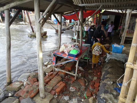
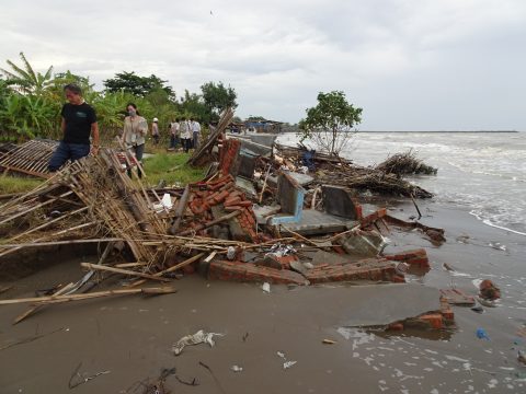
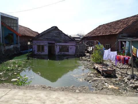
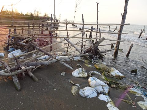
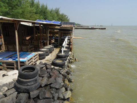
After arriving in Indonesia, we spent about 10 days completing field surveys on the northern coast of Java before flying from Semarang to Jakarta. Discussions and field surveys continued every day, and as many areas were difficult to access by car, we walked along muddy roads and also used drones to check the surrounding conditions.
The problem areas I had identified in advance using satellite photos and other sources gave me a slightly different impression when I actually visited the sites. After speaking with local government officials and residents and seeing the situation on the ground, I saw firsthand how serious the problems were, and in many cases, the causes were different from what I had assumed. As expected, there are limits to understanding issues using satellite and aerial photos, and I was reminded of the importance of actually seeing and hearing about them. We will consider conservation measures for areas affected by inundation due to high tides and floods, coastal erosion, and inundation due to land subsidence.